


Land Management
PROTECTING OUR EVACUATION ROUTES: FUEL REDUCTION EFFORTS IN PROGRESS
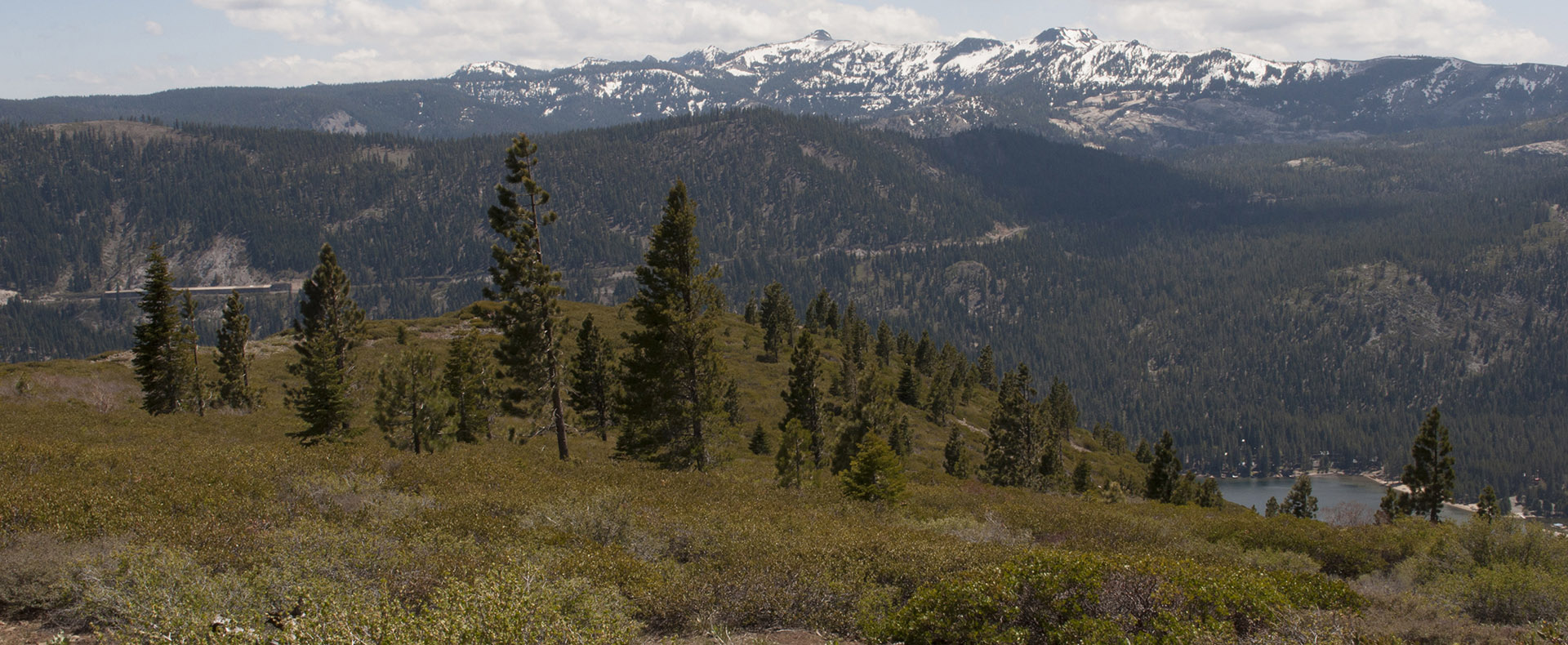
Wildfire preparedness remains a top priority in Tahoe Donner, and you may have recently noticed blue-marked trees along roadways. These markings indicate planned fuel reduction work designed to enhance safety along designated evacuation routes. Vegetation within 10 feet of the road edge (within the Town of Truckee’s right of way) will be cleared, while in Tahoe Donner’s Common Areas along these routes, vegetation will be selectively reduced up to 23 feet from the pavement. This work includes mastication of brush, selective thinning of closely spaced trees, and limbing to prevent ground fires from reaching tree canopies. The project, funded by Town of Truckee homeowner tax assessments (TSSA-1 funds), is a proactive step in reducing wildfire risk and improving emergency access for the community.
VIEW EVACUATION ROUTE MAP
Land management within Tahoe Donner means so much more than forestry crews and trail space. The association owns 5,048 acres and maintains an additional 2,622 acres of private properties, utilities and public roads. Land management efforts include:
- Fuel Breaks: Strategically placed zones between the natural forest and residential areas, also referred to as the Wildland Urban Interface (WUI). Fuel breaks are not created to stop a fire but to help slow its spread by reducing the amount of flammable vegetation in a given zone and allowing for easier firefighter intervention.
- Fuel Reduction Zones: Within a forest, there are different zones that each have different treatment and maintenance plans according to what the needs are for the area. These zones help the natural forest fade into the residential forests as frequently seen in Tahoe Donner. These zones are created through the use of strategic vegetation thinning that mimics what would occur from natural wildfires. Fuel reduction zones are critical in helping prevent the rapid spread of wildfire, but they also contribute to ongoing forest restoration efforts that preserve important natural resources and biodiversity in the landscape, creating healthier and stronger forests.
- Common Areas: These areas are owned by Tahoe Donner and maintained by the Forestry Department for the mutual benefit of its members. These areas outside of private property boundaries do not require maintenance by members—the Forestry Department works diligently to preserve these pieces of land so that everyone may benefit from them.
Tahoe Donner is proud to have a Forestry Department that is nationally regarded as a leader in their field when it comes to defensible space, wildfire reduction and overall forest health. To read about land management objectives, please review Tahoe Donner’s Strategic Plan and Trails Master Plan. For additional information, view the sections below.

- Tahoe Donner Trails Website
- Trails and Open Space Master Plan Update
- Trails and Open Space Map
- Truckee Donner Land Trust Map
- Field Guides – Wildflower Guide, Bird Guide, Conifers of Tahoe Donner
- California Noxious Weed Guide